
Since the medieval period land has been reclaimed from estuaries and foreshores by building dykes and/or drains to create low-lying ground for agricultural, recreational or industrial use. However, the extent of reclaimed land is difficult to map and is often only identified by examining the high water mark depicted on 1st edition and current OS maps and noting any straightening of its line.
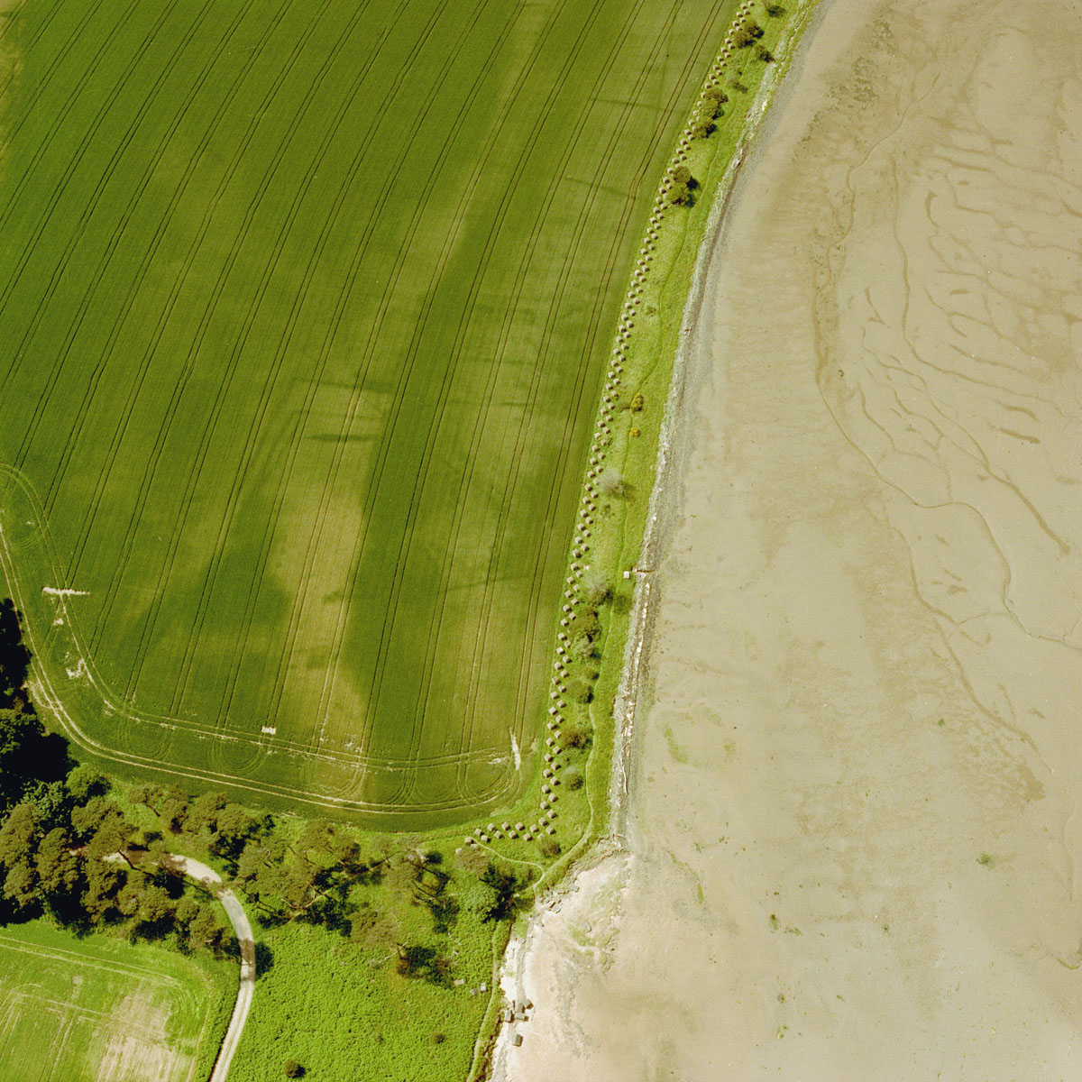
Since the 18th century areas of low-lying ground and coastline have been drained and dyked to create dry land for agricultural and industrial use. In this arable field, the dark green horizontal lines that stretch towards the sandy coast at Hedderwick by Dunbar are old drains used in the reclamation of this ground. Such areas are recorded by comparing the mean high water mark on the 1st and current editions of OS maps.
HES SC761555

