
Considerable areas of land were enclosed in the medieval period to demarcate specific parts of the hunting lands of nobility. A deer park was bounded by a deer dyke, usually consisting of a fenced bank and internal ditch, to prevent the deer from escaping. Where medieval deer park boundaries survive they are now situated in landscapes where the land use has changed to rough grazing or farmland.
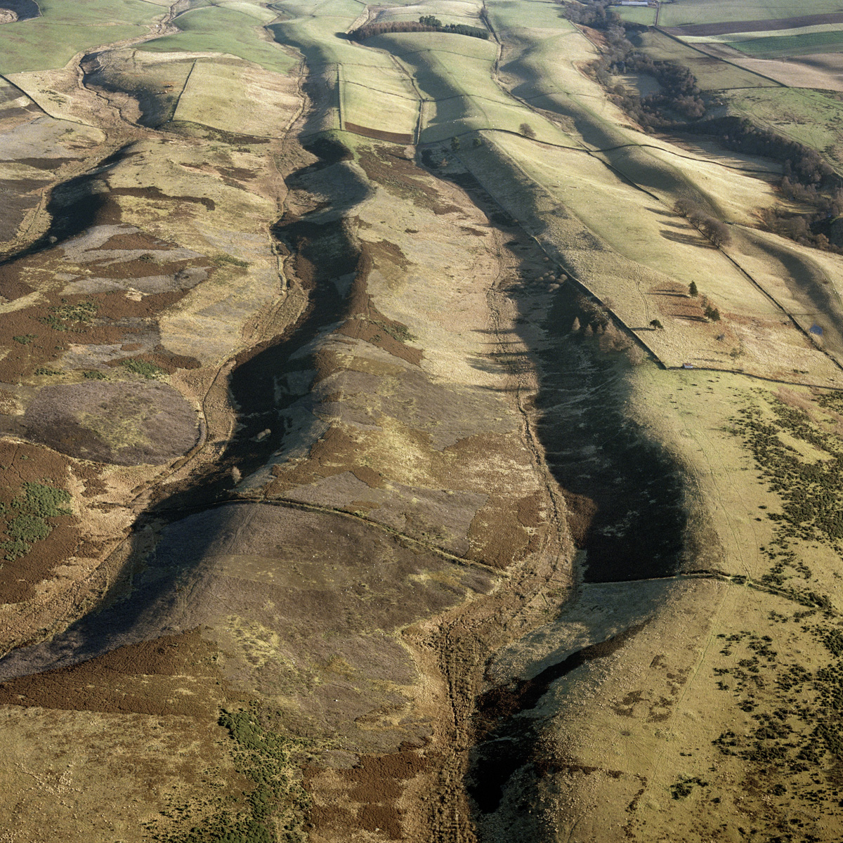
The bank and ditch visible across the ridges in the lower half of this image is the western boundary of a former deer park at Buzzart Dikes, near Blairgowrie. Noted on historical and current OS maps, and in aerial photographs, Canmore and its associated archives may contain further information. However, OS maps that record 'Deer Park' are generally referring to ornamental parks associated with large country houses and their designed landscapes.
HES SC575758

