Medieval hunting forests covered extensive areas of rural Scotland. They were lands across which the king and his nobles had rights to ride out and hunt deer or boar with hounds and crossbows. The land cover was varied, from open woodland and pasture to denser forest, as well as agricultural ground with associated settlement.
Farmed areas within the hunting forest were enclosed with a deer dyke (a bank with a ditch outside) to stop deer straying into the fields and crops. Together these units of settlement, agriculture and rough grazing are known as medieval assarts. In parts of the deer forest where there was no settlement deer parks were created; these are recorded separately as HLA data.

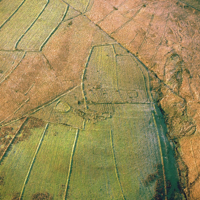
Lying within a hunting forest, the ditch of an assart enclosure at Ettleton Sike in Roxburghshire runs diagonally across the top of this image. These features can be seen in aerial photographs and may be recorded in Canmore and its associated archives.
HES SC759248