
The intertidal zone contains many different types of land use. Modern ones such as harbours or shellfish farms are easily recognized and mapped. However, below the high tide line there are landscape features from past land use such as fish-traps, or ponds for storing timber - only found on the river Clyde - which are abandoned and the seashore has reasserted its natural state.
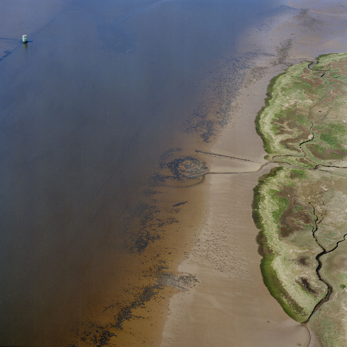
The remains of Dumbuck Crannog survive as a circular dump of stones on the sandy foreshore of the tidal River Clyde. OS maps and recent aerial photos are used to identify features in intertidal zones such as this.
HES SC970227

