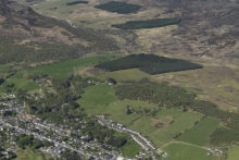
GIS Example
When HLA is downloaded for customised GIS interrogation the extent of prehistoric, historic and
modern land uses is fully revealed. GIS enables researchers, planners and other specialists to analyse
the data to answer specific questions about Scotland’s historic landscapes.
This GIS example focuses on just a few of the ways in which HLA data can be queried.
It shows how to:
- undertake analysis, both quantitative and qualitative, to understand the potential of historic
landscapes in their wider context
- incorporate information on historic landscapes in design, assessment and spatial modeling work
- identify areas of past landscapes preserved within the mosaic of current land use
- better understand the historic component of landscape character
 GIS Example