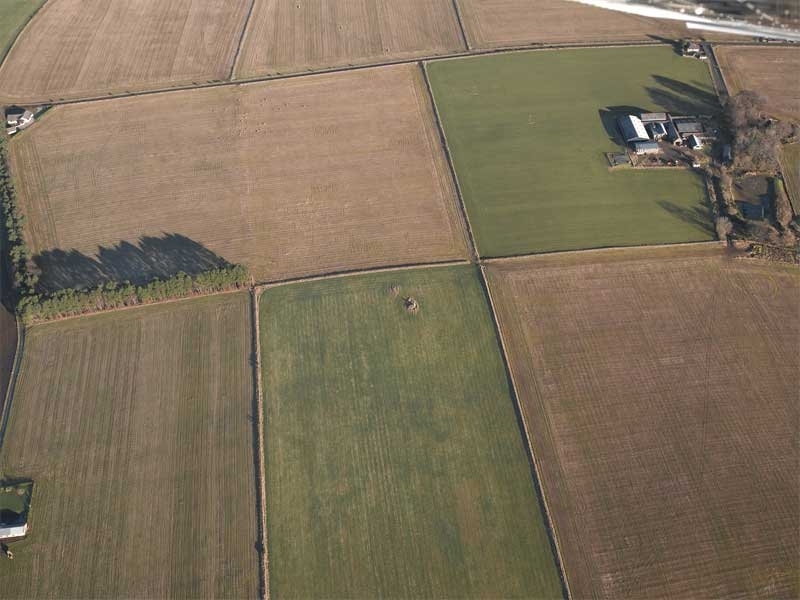
The landscape changed dramatically during the period of agricultural improvements in the 18th and 19th centuries. Some new farms were laid out with large farm steadings surrounded by formal rectilinear fields with parallel boundaries. Such regularity was the ideal of improved farming, particularly on home farms, and landowners laid these out to a single plan. Recent amalgamation of these fields is common.

These field boundaries, built with stone dykes, present the formalised layout typical of planned fields at Inschfield in Aberdeenshire. 1st and 2nd edition OS maps at a scale of 1:10,560 are the prime source for this data.
HES DP007978