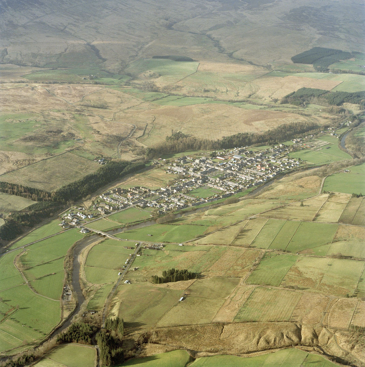
In rural planned villages of the late 18th and 19th centuries, houses were often allocated an allotment each for cultivation, in addition to the back gardens that were attached to the dwellings. These rectangular plots are detached from the village but laid out to a regular plan.
Over time some of the allotted plots have been amalgamated to create larger fields, but the pattern is generally still visible.

The allotments in the foreground, with their regular size and plan, are associated with the planned village of Newcastleton in the background. Historical OS maps indicate the extent of these plots, which are characterised by the lack of farmsteads as well as their proximity to a planned village.
HES SC1025127