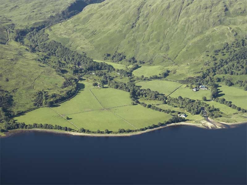
Agricultural improvements in the 18th and 19th centuries involved the enclosure of arable land as well as the building of slate roofed farm steadings and associated buildings. Field boundaries were designed to be rectilinear wherever possible, because it improved the efficiency of agriculture, tending to reduce unworkable corners. Recent amalgamation of these fields is common.

These rectilinear fields at Inveresagan in Argyll are enclosed by straight stone dykes and are clearly distinguished from the surrounding rough grazing by their uniform improved grass. 1st and 2nd edition OS maps at a scale of 1:10,560 are the prime source for this data.
HES DP017789