
Before the 20th century, managed woodlands were enclosed by a high bank, wall or fence, keeping deer and other browsing animals away from the growing trees. Although in many instances the trees have long since been felled and have not been replaced, sub-circular or sub-rectangular enclosures do survive, reflecting the original land use within the surrounding boundary. In other instances they have been ploughed flat and are only known from cropmarks showing in aerial photographs. Sometimes surviving plantation enclosures have been over-planted with conifers, a result of woodland expansion.
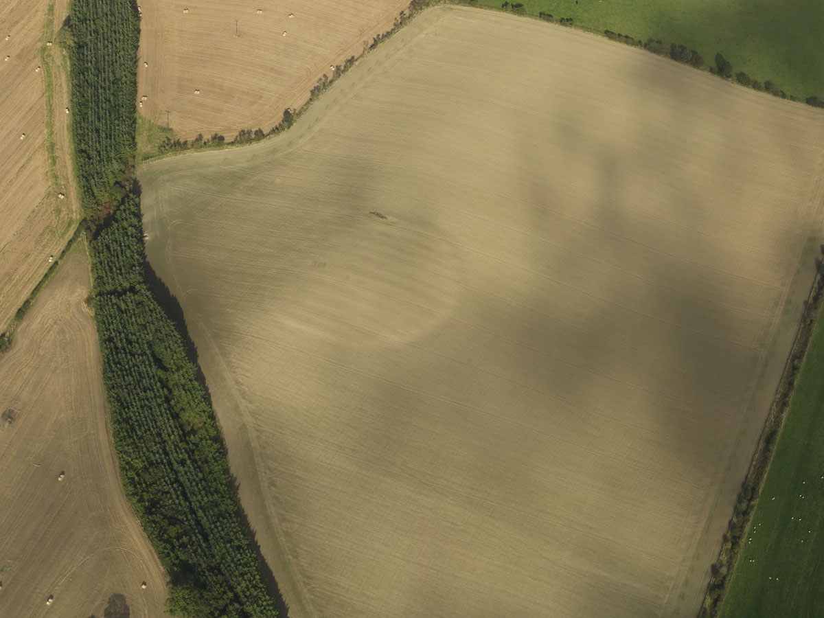
This circular soil mark of a plantation bank at Camieston in the Borders is depicted as a wooded area on historical OS maps. Soil marks occur when uneven growth of a crop reveal buried features.
HES DP082556

