
Roman military sites are mainly located across lowland Scotland. Some relate to the Antonine Wall which crossed the Central Belt from the northern shore of the Clyde west of Glasgow to the southern shore of the Firth of Forth just east of Falkirk. Some Roman camps and forts were built north of the Wall, with a few even extending along the east coast and up to the Moray Firth, though many of these were only used for a short time. These military sites reflect an intermittent Roman presence in Scotland between the 1st and 3rd centuries AD.
Bounded by ditches and ramparts to a playing card shape on plan, most Roman military sites have been ploughed flat. Some have only been identified as cropmarks using aerial photography. The location and extent of others can sometimes be confirmed by walking ploughed fields and collecting scatters of Roman artefacts. A few forts and camps are still visible on the ground, and some stretches of the earthen Antonine Wall are also upstanding. Some of these are now visitor attractions. However, certain sites are quite small (less than a hectare) and are therefore not recorded as HLA data.
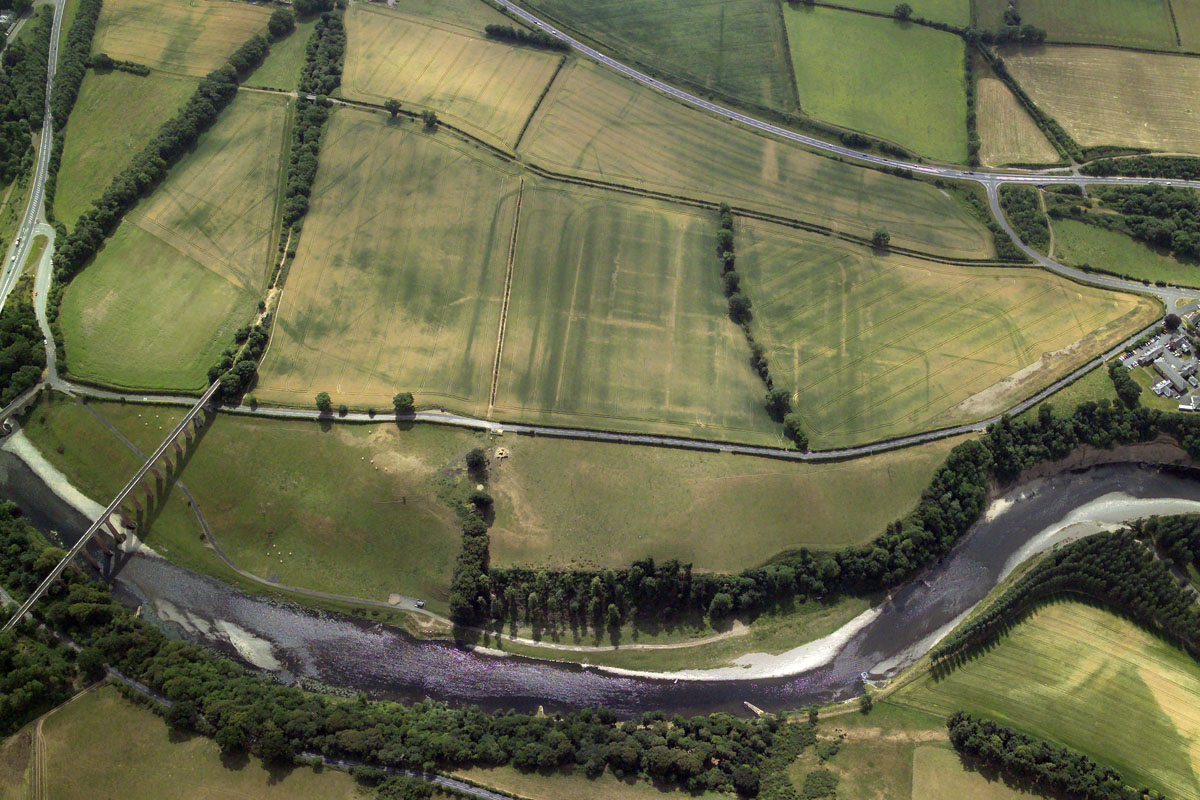
The cross-shaped cropmarks visible in the rectilinear fields at Newstead in Roxburghshire are part of the remains of a complex site of Roman forts and camps. The site extends over several acres and is shown on all eras of aerial photographs from the 1940s on.
HES DP011649

